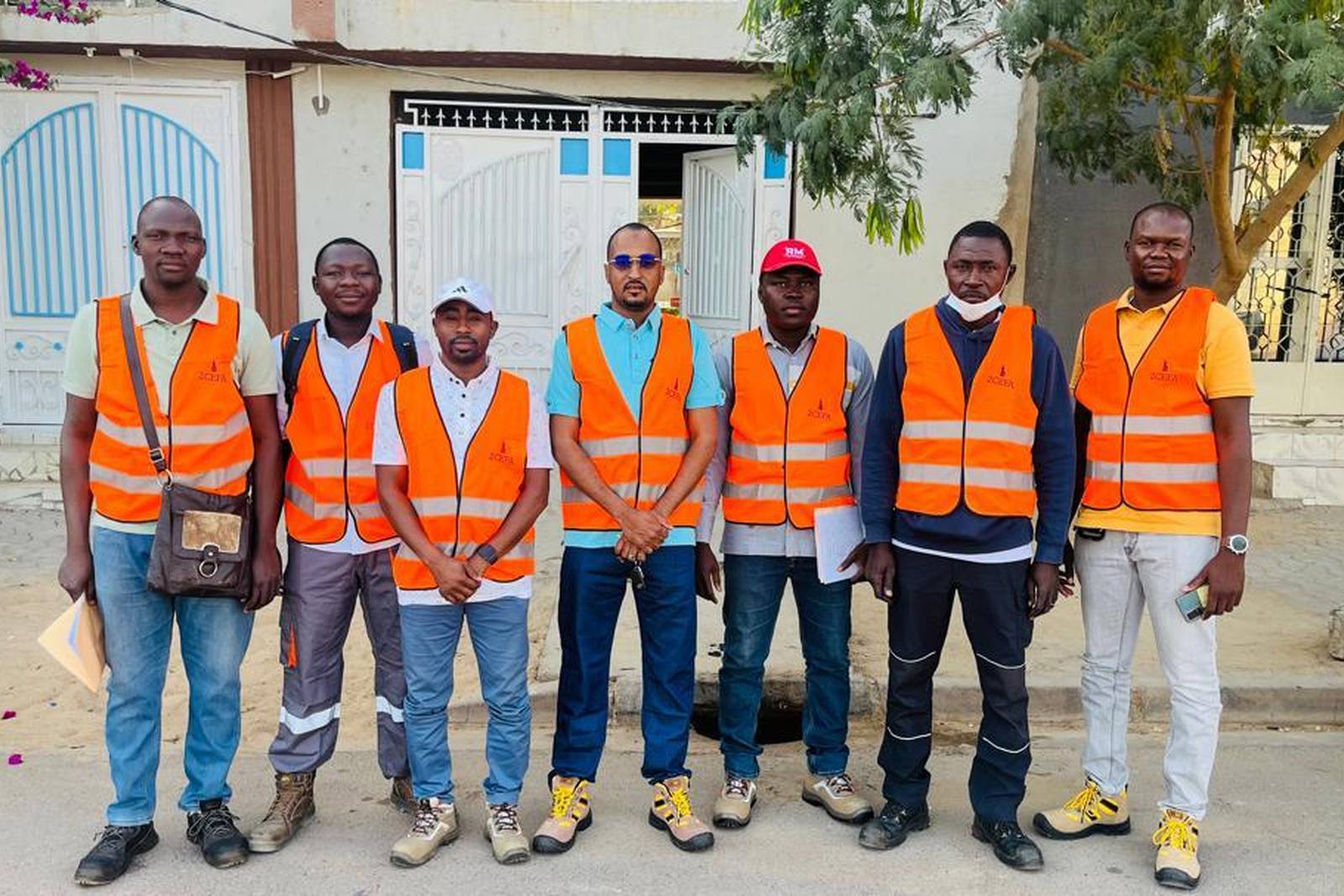
Making the service stations of N'Djamena safe.
Identify, assess and prevent risk, to strengthen the safety of energy infrastructure.
The assignment
A risk map, station by station.
As part of its remit to monitor and secure energy installations, ARSAT commissioned a risk-mapping exercise through ETL Expertise, to guide operators towards rigorous risk management and to protect users, property and the environment.
The field assignment deployed a multidisciplinary team — risk management, geolocation, industrial safety — to identify and assess the hazards attached to operating this infrastructure.
Objectives and approach
What the assignment set out to do
- Identify and analyse the risks specific to each station: fire, explosion, soil pollution, fuel leaks, regulatory non-compliance, proximity to sensitive areas.
- Record the GPS coordinates of every station for a detailed digital map.
- Draw up a risk sheet per site, with recommendations for reduction and for bringing the site into compliance.
- Build a central geospatial database to inform decisions by the authorities, the operators and their partners.
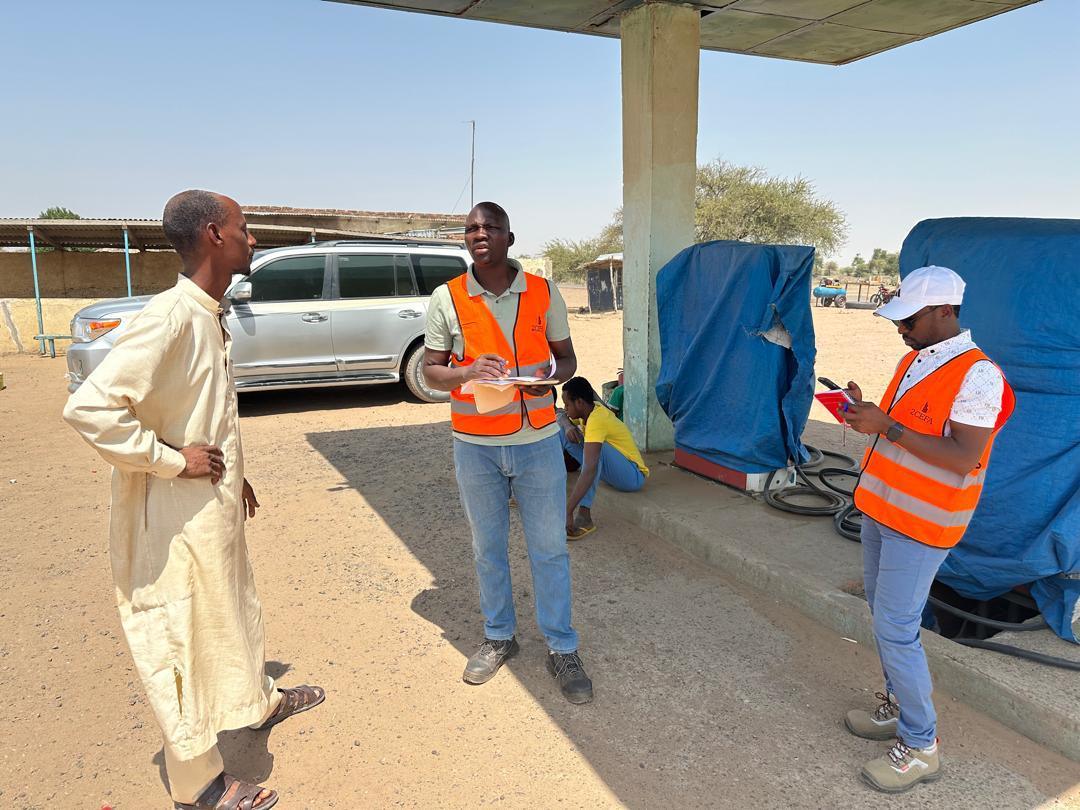
What the team did in the field
- Physical inspection of all the infrastructure concerned.
- Assessment of the safety arrangements in place.
- Collection of geospatial data using GPS positioning equipment.
- Identification of the environmental and human factors that amplify or reduce risk: urban density, traffic flows, neighbouring infrastructure, emergency access.